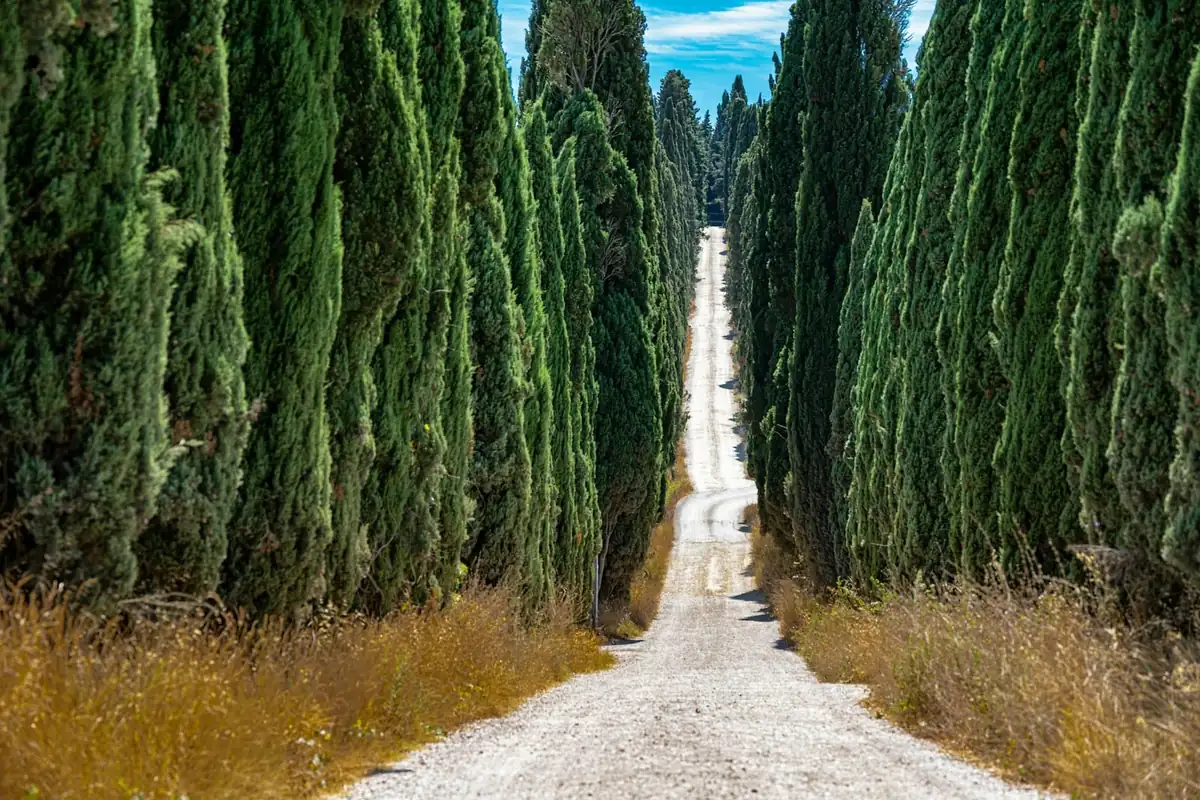
General Wade's Military Road: The Wildest Stage of an Atlantic to North Sea Crossing
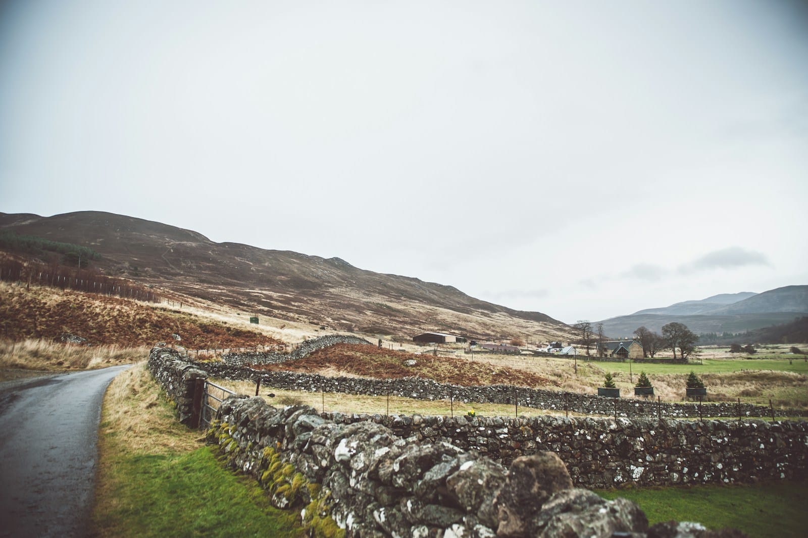
There is a moment on the third day, an hour or so out of Fort Augustus, when the last tree drops behind you and the track ahead simply keeps going. No fence line. No pylon. No sound except wind and your own tyres on stone. The road under you is straight in the way only a military road is straight — laid by engineers who had a destination and no interest in the contours of anyone’s field — and it has been there, more or less unchanged, since before anyone in Scotland had heard of a bicycle.
This is the stage that people remember. Not because it is the hardest day of the week, and not because of any single view. Because it is the day the Highlands stop being scenery outside a window and start being the thing you are inside.
Where this sits in the crossing
The Highlands Scotland Gravel route is a full traverse: Fort William on the Atlantic to Montrose on the North Sea, 520 to 540 kilometres across five riding stages, with 5,100 to 6,500 metres of climbing. Almost all of it is unpaved — forestry roads, estate tracks and old droving routes.
The military road day is stage three, Fort Augustus to Kingussie. It comes after a gentle opening along the Caledonian Canal and Loch Ness, and before the Cairngorms. Seventy kilometres and 850 metres of climbing on the Adventure route; eighty kilometres and 1,000 metres on the Explorer.
Read those numbers and it looks like a moderate day. It is not the numbers that make it.
A road built for soldiers
After the Jacobite risings, the British government had a problem it could not solve with troops alone: the Highlands had no roads. Moving a regiment through this country meant moving at the pace of the ground, which is to say barely at all. The answer was a programme of military road-building through the glens and over the passes, driven straight where straight was possible and stacked into zigzags where it was not.
What makes them good to ride, three centuries later, is precisely what they were built for. They take the direct line. They hold a steady, rideable gradient because artillery had to go up them. They were engineered with drainage that still works. And crucially, most of them were never resurfaced — the modern road network went elsewhere, and the old lines were left to become exactly the kind of unimproved stone track a gravel bike is happiest on.
You feel the intent under the wheels. The surface is coarse and honest. The line does not wander to take in a view, because nobody who built it cared about the view.
What the day is actually like
The riding is not technical. There is nothing here that asks for mountain-bike skill, no loose switchbacks, no exposure in the vertical sense. What it asks for is patience and a tolerance for wind.
That is the honest headline. Wind across open moorland is the defining variable of this stage, and it is not a small one. A still day makes 70 kilometres feel like an easy afternoon. A headwind turns the same distance into a long, grinding conversation with yourself. Nothing about the elevation profile tells you which day you are going to get, and the guides will say so at the briefing the night before.
The other quality is emptiness. Our route notes call this one of Scotland’s most remote areas, and the word is used literally rather than as marketing. There are stretches with no habitation in sight in any direction. For riders used to European gravel — where a village and a coffee are rarely more than half an hour away — the absence takes some adjusting to. It is also, for most people, the entire point.
Riding it well
A few things that genuinely change this stage:
- Take the wind seriously at breakfast. If it is blowing, eat more and start steadier than feels necessary. The mistake is riding the first flat 20 km at the pace the surface invites.
- Layer for stopping, not for riding. You will be warm while moving and cold within two minutes of stopping. A packable shell in a jersey pocket is worth more here than on any other stage of the week.
- Carry your own repair kit and know it. On the Explorer option you may be a long way from the van. A puncture you can fix in five minutes is an inconvenience; one you cannot is a long wait in an exposed place.
- Do not chase the group. This is a stage that rewards riding your own tempo. The regathering happens naturally, and burning matches into a headwind to hold a wheel is how people arrive in Kingussie empty.
Tyres, and why width matters here
Our minimum across every tour is 38 mm, wider is better, and tubeless is strongly recommended. On this route the reason is specific: Scotland’s estate tracks are wet, and wet stone with standing water hiding the holes is a different proposition from dry gravel.
Width buys you two things on a day like this — flotation over soft patches where the drainage has given up, and comfort across hours of coarse stone with nothing to break the rhythm. Run a little softer than instinct suggests. Our guide to gravel bike tyres for touring covers the trade-offs in full.
Kingussie, and what comes after
The stage drops down toward Kingussie at the end, and the change is abrupt in the way Highland geography often is — moorland, then trees, then a town with a hotel and hot water in it.
What follows is the Cairngorms: stage four to Tomintoul, Scotland’s highest village, 90 kilometres and 1,000 metres on the Adventure route. Then a genuine rest day there, with the option of a lighter gravel loop or the Glenlivet distillery, and dinner included. The rest day placement is deliberate — it sits after the two stages that ask the most of you, not in the geometric middle of the week.
After Tomintoul the route runs up the River Avon through Glen Builg, which is the other stretch on this crossing where the landscape opens into something genuinely wild, and then east toward the Dee valley. The closing day into Montrose is the longest of the week at 110 to 120 kilometres, and it ends at the North Sea with a celebration dinner. Coast to coast, complete.
Our full route guide, gravel cycling in the Scottish Highlands, walks the whole traverse if you want the shape of the week rather than one stage of it.
What a supported Highland week includes
Seven nights in small hotels and Highland guesthouses chosen for location, seven breakfasts and three dinners, luggage transfer hotel to hotel on every stage, a support vehicle carrying spares, a spare bike and a clothing bag, experienced English-speaking guides at a maximum of ten riders per guide, GPS routes for Garmin, Wahoo and Komoot, a daily evening briefing with maps and elevation profiles, mechanic help from the crew with parts at cost, complimentary PurePower energy powder, a Gravel-Adventure jersey, a shared photo album and lifetime RIDERS-network membership.
The return bus transfer between Edinburgh Airport and Fort William is included in both directions. You fly to Edinburgh; the shared transfer leaves the airport at 16:00 on arrival day for the three-hour drive north, and on the final morning the bus leaves Montrose at 09:00 and reaches Edinburgh by about 11:00 — so book return flights no earlier than 13:00. The full mechanics are on how it works.
Both route options run every day and you choose at breakfast, not at booking. The levels page sets out what each asks.
Why this stage is worth the week
Plenty of routes have a famous climb. This one has something rarer: a day on which the landscape does not perform, does not soften, and does not particularly notice you. The road was built to solve a military problem and it solved it, and now it is a very good gravel track running through empty country, and you can ride the whole of it in an afternoon with your bag already waiting in Kingussie.
We ride it twice in 2026 and twice in 2027 on the Highlands Scotland Gravel week — guided or self-guided, Atlantic to North Sea, with the support van somewhere behind you on the same old road.
Questions riders ask
What is General Wade's Old Military Road?
A network of roads built through the Highlands in the decades after the Jacobite risings, engineered to move troops quickly through country that had no roads at all. Stretches of it survive as unsurfaced track, and our third stage from Fort Augustus to Kingussie follows one of them across some of the most remote ground on the route. You are riding 300-year-old military engineering that was never upgraded, which is exactly why it is still good gravel.
How hard is the military road stage?
70 km with 850 m of climbing on the Adventure route, or 80 km with 1,000 m on the Explorer route. The numbers are moderate by the standards of our programme — the difficulty here is exposure and wind rather than gradient. There is very little shelter, and a headwind across open moorland changes the day more than an extra 200 m of climbing would.
Is the Scotland crossing genuinely coast to coast?
Yes. Fort William sits on the Atlantic seaboard and Montrose on the North Sea, and the route crosses the whole width of the Highlands between them — 520 to 540 km over five riding stages, almost entirely on unpaved roads, forestry tracks and old droving routes.
What happens if the weather turns on an exposed stage like this one?
The support vehicle is on the route, and the guides make the call. Scotland asks for four seasons in a day as a matter of routine, so a proper waterproof, warm layers and gloves earn their place even in July. The daily evening briefing covers the next day's exposure specifically, which matters more here than on any other route we run.
How remote does it actually get?
Remote enough that self-sufficiency matters. On the longer Explorer option you can be a real distance from the support vehicle, so you should be able to sort a puncture or a chain yourself. This is a stage where being able to fix your own bike is a genuine part of the experience rather than a formality.
Planning a gravel week of your own?