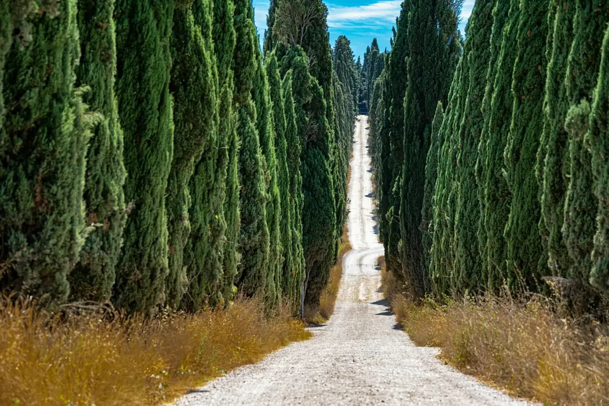
Sagres and the end of the known world: the final stage of gravel cycling in Portugal
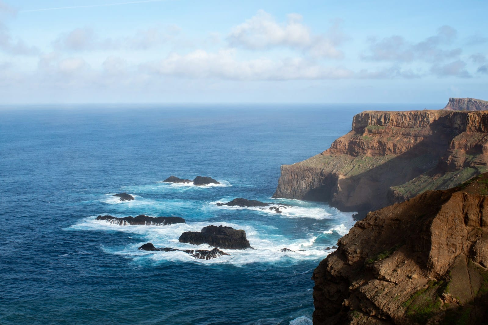
The fort at Sagres sits low and square on its headland, built to withstand weather rather than to look impressive, and on a clear afternoon you can see why anyone standing here five centuries ago might have believed the world simply stopped a few kilometres further on. There is water on three sides. The cliffs drop away in a way that gives no hint of what comes next. And the wind, which has been at your back or in your face for most of a week of gravel, arrives here from every direction at once, because there is nothing left standing between this rock and the open Atlantic.
This is where our crossing of southern Portugal ends, and it is not a coincidence that it ends here rather than somewhere gentler.
Where this sits in the crossing
The Trans Algarve Gravel route runs Tavira to Sagres — 345 to 435 kilometres east to west across southern Portugal, five riding stages plus a rest day, 4,300 to 6,800 metres of cumulative climbing depending on which daily route you ride. The final stage, day seven on the itinerary, runs from Aljezur down the wild southwest coast to Sagres: 55 kilometres and 700 metres of climbing on the Adventure route, 75 kilometres and 1,100 metres on the Explorer.
It is, on paper, the easiest day of the week. The numbers say so. What the numbers do not say is that this is the stage every rider on the trip has been quietly looking forward to since the welcome dinner in Tavira, because it is the day the whole crossing has been pointing toward.
Gravel cycling in Portugal’s far southwest
Gravel cycling in Portugal means something different once you’re this far southwest. The interior riding through cork oak and the Serra de Monchique earlier in the week is about quiet and scale — empty roads through a landscape most visitors to the Algarve never see. This last stretch is about exposure. The route drops out of Aljezur and picks up the Costa Vicentina, the protected coastline of cliffs, dune systems and surf beaches that runs along Portugal’s southwest corner, largely undeveloped because the land itself made building difficult and the authorities eventually made it illegal. The gravel here runs close to the cliff edge more often than not, through the small settlement of Carrapateira and on toward the headland, with short, punchy ramps up from every cove the track drops into.
There is no long, sustained climb on this stage. Instead there is a rhythm of down-and-up that never quite lets you settle, and a wind that is doing something different on every exposed section — a crosswind rounding a headland, a tailwind along a straight, a wall of resistance the moment the track turns to face the ocean directly. Riders who found their legs on the Serra de Monchique two days earlier find something different is being asked of them here: attention, mostly, and a willingness to let the wind set the pace rather than fight it.
The end of the known world
Cabo de São Vicente, a short ride beyond Sagres itself, is the more dramatic of the two headlands and the one most travel writing reaches for — cliffs close to 75 metres, a lighthouse with one of the more powerful beams on the Atlantic coast, and a sense of open ocean that has nothing to soften it. But it is Sagres and its fort, on the neighbouring point, that carries the historical weight for this crossing, because it is here that tradition places the court of Henrique the Navigator.
Whether a formal “school of navigation” ever existed at Sagres in the way nineteenth-century histories liked to tell it is something historians now argue about more carefully than they once did. What is not in dispute is the geography that made the story plausible in the first place: this headland, in the early fifteenth century, sat close to the practical edge of what European sailors reliably knew. Charts of the period show the coastline growing vaguer and the sea monsters growing more confident the further south and west you look. Sagres was where captains, cartographers and shipbuilders gathered before pushing that edge further out — first along the African coast, eventually across an ocean nobody had crossed on purpose before.
You feel a version of that on the bike, on a much smaller scale. The road behind you is a known week — a route we’ve ridden and mapped and briefed you on every evening. The cliff ahead of you, cutting off the view of anything beyond it, is doing exactly what it did on the old charts. It is an edge, dressed up as a coastline.
Riding the coast to Sagres well
A few things that change this stage for the better:
- Respect the wind before the terrain. The climbing is modest; the crosswinds on the exposed headland sections are not. Keep your hands loose on rough, gusty ground rather than gripping through it.
- Layer for the fort, not for the ride. You will likely be warm on the riding sections and genuinely cold standing at Cabo de São Vicente with the wind coming straight off the Atlantic. A packable shell in the day bag earns its place on this stage more than any other.
- Run the tyre width you’ve been running all week. Nothing changes materially in the surface here — 38 mm minimum, wider is better, tubeless strongly recommended for the dry, dusty tracks that have carried you the whole crossing.
- Don’t rush the finish. This is a short day by the standards of the week. Let it be short in effort as well as distance — you’ve done the harder riding already, and the point of this stage is to arrive at the headland with something left to actually notice it with.
Sagres, and the closing dinner
The stage rolls into Sagres itself in the afternoon, a small, low-built town that has grown up around the fort and the harbour rather than around any resort development. The closing dinner that evening is part of the week’s included program, and it is, honestly, a good one to be tired for — the kind of tiredness that comes from a genuine crossing rather than a hard single day.
The following morning is the return transfer to Faro, though plenty of riders choose to stay on. Sagres and the surrounding coast reward a slower day or two at the end of the week more than most finish towns do, and we’re glad to help arrange the extra nights if that’s the plan.
Our full route guide, Tavira to Sagres: gravel across the Algarve, covers the whole crossing stage by stage if you want the shape of the week rather than just its ending.
What a supported Algarve week includes
Seven nights in small guesthouses and rural quintas across the interior — not a resort hotel on the route — with seven breakfasts and three dinners, including the closing dinner in Sagres. Luggage travels hotel to hotel in the support van every stage, so you ride with a day bag and collect your main bag each evening. The support vehicle carries spare parts, a spare bike and a clothing bag, meets the group most days at lunch with a free refill of PurePower energy drink, and mechanic help from the crew is included — you only pay for parts. Both the Adventure and Explorer routes run every day, chosen at breakfast rather than at booking, guided by an English-speaking guide at a maximum of ten riders, or self-guided on GPS routes for Garmin, Wahoo and Komoot. Shared transfers to and from Faro airport bookend the week. The full breakdown is on the Trans Algarve Gravel tour page, and how our tours work walks through the support model in detail; the two daily paces are explained on the levels page.
Why this stage is the right way to end a week
Most crossings finish somewhere convenient — an airport town, a transport hub, a place chosen for logistics rather than meaning. This one finishes at a headland that mapmakers once treated as the edge of everything, reached by riding the wildest and least developed coastline in the whole week. It is a short day, an easy day by the numbers, and it is also, for most riders who do it, the one they talk about first when they get home.
We ride this exact finish twice a year on the Trans Algarve Gravel week — Tavira to Sagres, guided or self-guided, with the support van somewhere behind you on the same cliff road.
Questions riders ask
Why is Cabo de São Vicente called the end of the known world?
Before the Portuguese voyages of the fifteenth century pushed navigation south and west, this headland — with its neighbour Cabo de Sagres a few kilometres east — marked the practical limit of the charted Atlantic. Sailors had no reliable knowledge of what lay beyond it, and mapmakers marked the edge accordingly. The fort at Sagres is traditionally linked to Henrique the Navigator, whose court gathered the pilots, cartographers and shipbuilders who helped turn that limit into a starting point instead. You ride to the same headland now on a gravel bike rather than a caravel, but the cliffs give the same sense of an edge.
How hard is the final stage into Sagres?
It's the shortest riding day of the week, which is deliberate: 55 km and 700 m of climbing on the Adventure route, or 75 km and 1,100 m on the Explorer. The distance is modest; the character comes from the terrain and the wind, not the numbers. Cliff-edge gravel and short, punchy climbs along the Costa Vicentina mean you arrive at Sagres with the week's effort behind you, not ahead of you.
Is it very windy at Cabo de São Vicente?
Yes, and it's part of the point. The headland sits exposed to the full Atlantic with nothing between it and the ocean, and the wind is a near-constant presence — it's one reason the lighthouse there has one of the most powerful beams in Europe. Dress for it: a packable shell earns its place in the day bag even on a warm October afternoon, because the temperature at the fort can feel ten degrees colder than the ride five kilometres earlier.
Can I stay on in Sagres after the tour finishes?
Many riders do. The scheduled transfer back to Faro runs on the final morning, but we're happy to help arrange extra nights in Sagres if you'd rather sit with the place for a day or two before flying home. The southwest coast rewards a slow finish as much as it rewards the ride there.
Do I need to be an experienced rider to do the whole Algarve crossing, not just this stage?
You need cycling fitness and some multi-day experience, not a background in expedition riding. The shorter daily distances across the week and the mid-crossing rest day at Caldas de Monchique make this one of our more approachable tours, and the choice between the Adventure and Explorer route each morning means you're never locked into a pace that doesn't suit you that day.
Planning a gravel week of your own?